Map "WIP-La Pointe Du Hoc [TEST]" version 21.12.19 for Ravenfield (Build 18)

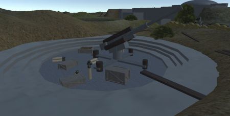
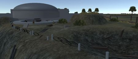
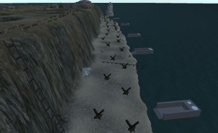
La Pointe du Hoc is a promontory with a 100-foot (30 m) cliff overlooking the English Channel on the northwestern coast of Normandy in the Calvados department, France.
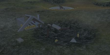
During World War II it was the highest point between the American sector landings at Utah Beach to the west and Omaha Beach to the east. The German army fortified the area with concrete casemates and gun pits. On D-Day, the United States Army Ranger Assault Group attacked and captured Pointe du Hoc after scaling the cliffs.
During World War II it was the highest point between the American sector landings at Utah Beach to the west and Omaha Beach to the east. The German army fortified the area with concrete casemates and gun pits. On D-Day, the United States Army Ranger Assault Group attacked and captured Pointe du Hoc after scaling the cliffs.
Photos
Latest comments
Add a comment
Related Mods
Categories
Popular Mods
New Photos
Calendar of publications
| « December 2024 » | ||||||
|---|---|---|---|---|---|---|
| Mon | Tue | Wed | Thu | Fri | Sat | Sun |
| 1 | ||||||
| 2 | 3 | 4 | 5 | 6 | 7 | 8 |
| 9 | 10 | 11 | 12 | 13 | 14 | 15 |
| 16 | 17 | 18 | 19 | 20 | 21 | 22 |
| 23 | 24 | 25 | 26 | 27 | 28 | 29 |
| 30 | 31 | |||||
 0
0
 5 400
5 400
 22-12-2019, 12:41

